ALMD UNITS

The ALMD currently has three (3) units through which we offer our services to the public and our stakeholders. The three units are:
1.
Soil Survey & Land Classification Unit
2.
Planning Unit
3.
GIS & Mapping Unit

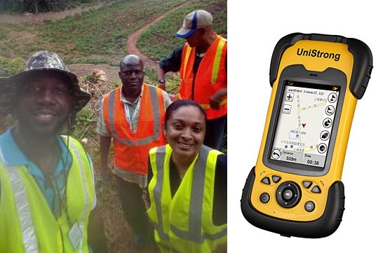
SOIL SURVEY & LAND CLASSIFICATION UNIT
The Soil Survey & Land Classification Unit, which includes the Soil Health, Plant Tissue & Water Laboratory, offers a modern soil survey service that provides comprehensive information on soils resources and their potential for crop production from soil and land use surveys.

The Soil Health, Plant Tissue & Water Laboratory has the capacity to perform a wide range of analyses. These analyses are arranged into four(4) categories: Soil Samples, Plant/Leaf Tissue, Water Samples & Fertiliser.

PLANNING UNIT
The Agricultural Land Management Division currently has a Planning Unit which is further sub-divided into 2 Regional Units:
1.
The Western Regional Unit - Catherine Hall, Montego Bay.
2.
The Eastern Regional Unit - Hope Gardens, St. Andrew.

GIS & MAPPING UNIT
The Agricultural Land Management Division currently operates a multi-data Geographic Information System (JAMGIS) which is integrated with the Cartographic Unit. This allows the division to produce maps and summaries related to different attributes such as soils, landuse, crop potential etc.